
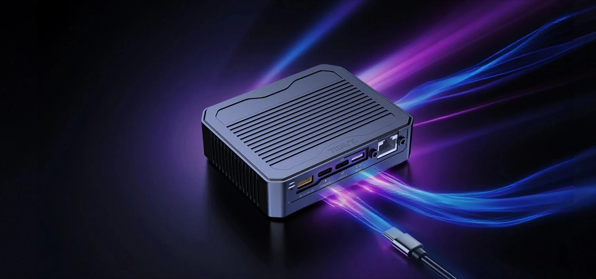
Products / Sensors & Perception / SLAMTEC Aurora S
SLAMTEC
Aurora S
AI Spatial Perception System
An all-in-one 3D perception module with AI-VSLAM, stereo depth and semantic recognition — mapping and localization without extra compute.
Description:
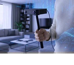
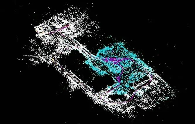
SLAMTEC Aurora S is a fully integrated AI spatial perception system. It combines a 180° stereo fisheye camera, inertial sensing and on-board compute running SLAMTEC's AI-VSLAM, and directly outputs mapping, localization, dense depth and semantic recognition. Maps can cover more than 1,000,000 m² with relocalization accuracy of ±5 cm, and LiDAR fusion is optional. SDKs for C++, ROS 1 / ROS 2 and Python support integration in humanoids, quadrupeds, outdoor robots and handheld mapping devices.
180° — Stereo fisheye camera
±5 cm — Relocalization
>1,000,000 m² — Mapping area
238 g — Weight
KEY FEATURES
Aurora S at a glance
Built-in intelligence
AI-VSLAM, stereo depth estimation and semantic recognition run on dedicated hardware — no extra compute or in-house algorithms required.
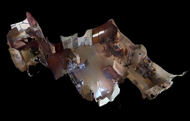
Dense, photoreal maps
Deep-learning multimodal perception creates dense, textured maps, with one-click 3D reconstruction and 3DGS support.
Ready for embodied AI
Semantic recognition for 18 outdoor and 80 indoor scenarios, and integration with VLA / VLN training systems.
TYPICAL APPLICATIONS
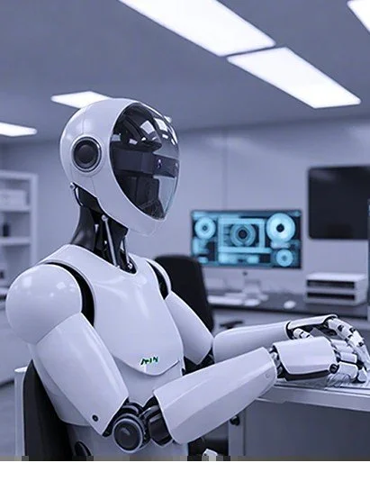
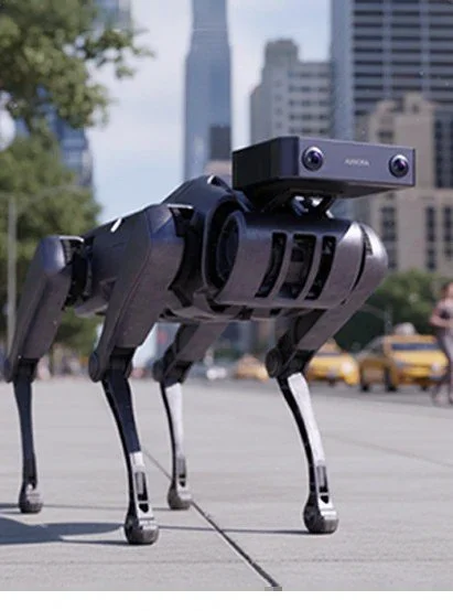
Humanoid & legged robots — Localization and mapping for humanoids and quadrupeds.
Outdoor robots — Navigation for lawn mowers, delivery and inspection robots.
3D mapping — Handheld mapping and dense 3D reconstruction.
TECHNICAL DETAILS
Specifications & capabilities
Key specifications from the manufacturer. Final specifications depend on the selected configuration.
Sensor & hardware
Camera — Stereo fisheye, 60 mm baseline, 180° FOV, global shutter, RGB
Frame rate — 15 Hz typical (10 / 30 Hz configurable)
Synchronization — Hardware-level time sync
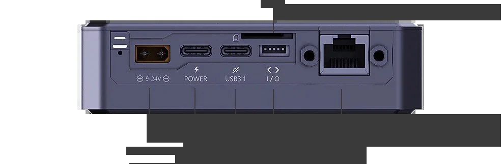
Size — 26 × 84.8 × 98 mm
Weight — 238 g
Power consumption — 10 W typical (excl. LiDAR)
Mapping & performance
Mapping & localization — AI-VSLAM, optional LiDAR fusion
Max. mapping area — >1,000,000 m²
Relocalization — Full map, ±5 cm
Map management — Continue, load and save maps
Dense depth — Deep learning, >90 % detection rate
Operating temperature — −20 to 50 °C
Perception & software
AI-VSLAM · Stereo depth · Semantic segmentation · ROS 1 / ROS 2
Object recognition and segmentation for 18 outdoor and 80 indoor scenarios (customizable on request). SDKs for C++, ROS 1 / ROS 2 and Python.
CONFIGURATION & ENQUIRIES
Tell us about your application
We help clarify the product configuration and coordinate technical questions with the manufacturer.
01 Product selection
Discuss your robot platform, environment, interfaces and integration needs.
02 Technical coordination
Review interfaces, software needs and integration requirements.
03 Project follow-up
Discuss delivery, documentation and support arrangements.